Category archives: Soil Mapping

Finding evidence for land-restoration strategies

Last update on Jan. 15, 2018.

Finding evidence for land-restoration strategies

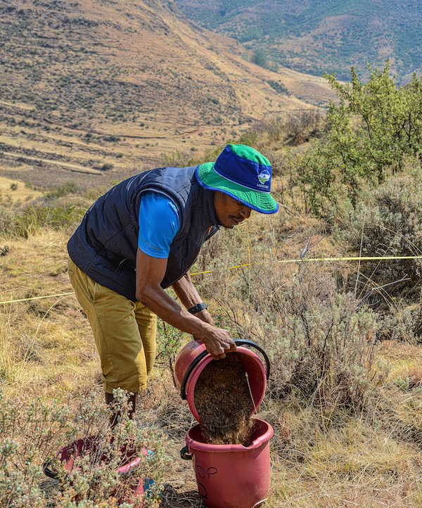
Photo of an agricultural landscape in Eastern Uganda, by Madelon Lohbeck


Restoration has never been more important, with almost a third of the world’s land surface degraded. But what exactly is restoration? And how do we know if it works?


More than 1.5 billion of the world’s poorest people are directly affected ...

Continue reading

Restoring land for and with Kenyan pastoralists

Last update on July 24, 2015.

Restoring land for and with Kenyan pastoralists

Read the ICRAF blog here:
http://blog.worldagroforestry.org/index.php/2015/07/08/restoring-land-for-kenyan-pastoralists/

The Land Degradation Surveillance Framework (LDSF)

Last update on March 27, 2015.

The Land Degradation Surveillance Framework (LDSF)


Key facts ...

Continue reading

Field sampling on Mt Elgon, Uganda

Last update on March 6, 2015.

Field sampling on Mt Elgon, Uganda

The field team from the ICRAF GeoScience Lab led by John Maina and Clement Okia (ICRAF Uganda) has completed the first of two Land Degradation Surveillance Framework (LDSF) sites on Mt Elgon in Uganda, as part of the project "Filling knowledge gaps on the restoration of degraded smallholder landscape mosaics". See slides below to get ...

Continue reading

Explore data from our network of LDSF sites in the Sentinel Landscapes

Last update on Aug. 5, 2014.

Explore data from our network of LDSF sites in the Sentinel Landscapes

We are in the process of developing an interactive online mapping and analytical platform, and have just released a test version for the Sentinel Landscapes initiative. Click here to run the application in a new window in your browser. You can also view the sites on the Landscapes Portal here.

Mapping soil functional properties using multilevel models

Last update on March 13, 2014.

>*Tor-Gunnar Vågen (ICRAF), Leigh Winowiecki (CIAT), Lulseged T. Desta (CIAT) and Jerome E. Tondoh (CIAT)*

In this document we present examples of R functions and scripts that may be used to generate local maps of soil functional properties based on for example remote sensing data, climate surfaces and/or digital elevation models and their derivatives ...

Continue reading

Maps of soil functional properties for Africa

Last update on March 19, 2014.

The Land Degradation Surveillance Framework (LDSF) was developed at the World Agroforestry Centre for landscape level assessments and studies of carbon dynamics, vegetation changes, soil functional properties and soil hydrological properties. The LDSF has been implemented in more than 20 countries in Africa to date, including the CIAT-led [Africa Soil Information Service (AfSIS)]("http://worldagroforestry ...

Continue reading